7.0 KiB
Search with autocomplete
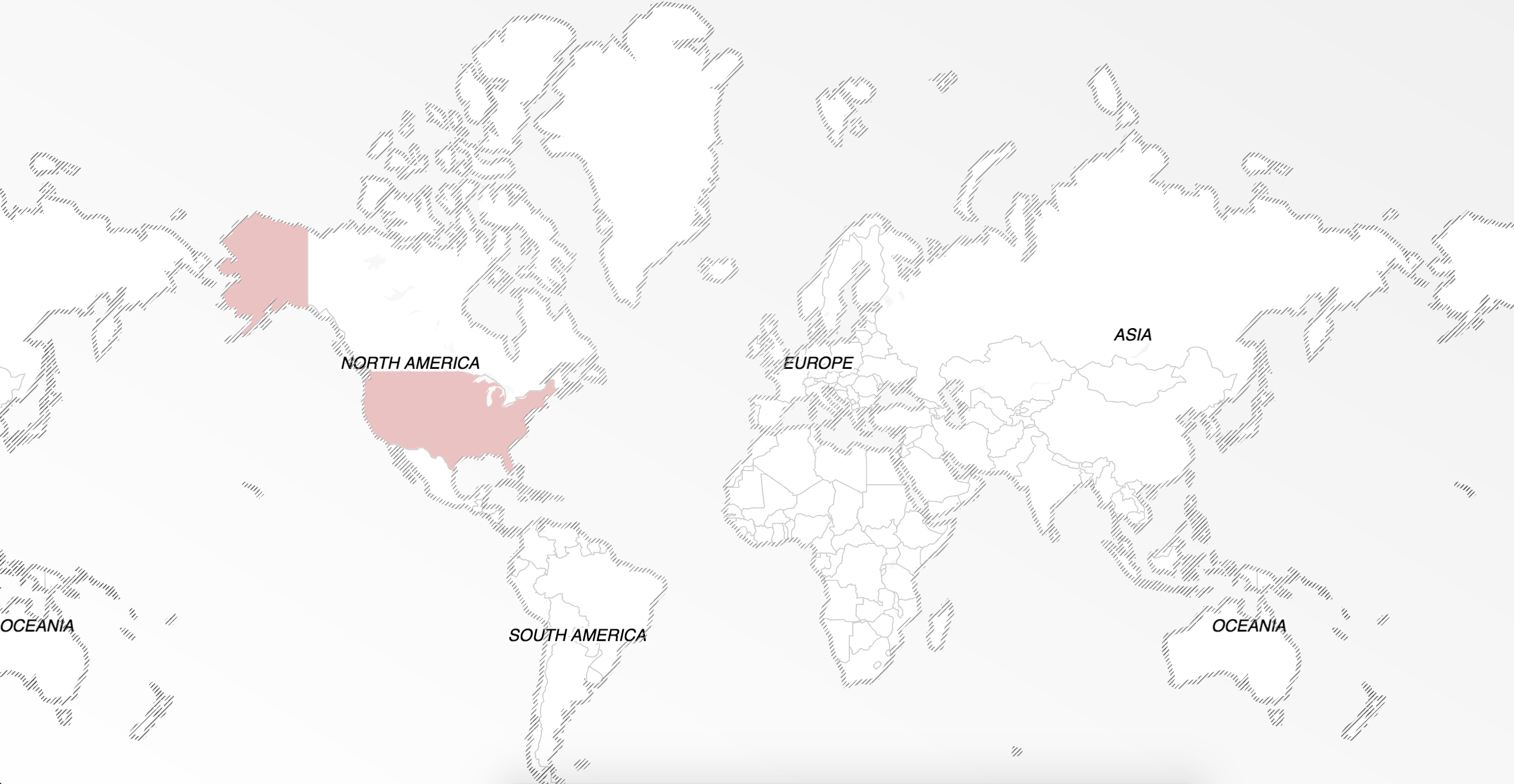
If you are building an end-user application, you can use the /autocomplete endpoint alongside /search to enable real-time feedback. This type-ahead functionality helps users find what they are looking for, without requiring them to fully specify their search term. Typically, the user starts typing and a drop-down list appears where they can choose the term from the list below.
To build a query with autocomplete, you need a text parameter, representing what a user has typed into your application so far. Optionally, you can specify a geographic point where the search is focused, this will allow users to see more local places in the results.
User experience guidelines
There are two user experience pitfalls to watch out for when implementing a client-side typeahead solution:
Requests must be throttled. Since autocomplete requests generally correspond directly to user input, it's important to account for fast typers and throttle requests when using the autocomplete endpoint. Some devices and networks (for example, mobile phones on a slow connection) may respond poorly when too many requests are sent too quickly, so be sure to do some testing on your own. Learn more in this interactive demo.
Responses are asynchronous. This means you cannot be sure responses will be returned in the same order they were requested. If you were to send two queries synchronously, first 'Lo' then 'London', you may find the 'London' response would arrive before the 'Lo' response. This will result in a quick flash of 'London' results followed by the results for 'Lo', which can confuse the user.
Global scope, local focus
To focus your search based upon a geographical area, such as the center of the user's map or at the device's GPS location, supply the parameters focus.point.lat and focus.point.lon. This boosts locally relevant results higher. For example, if you search for Union Square:
From San Francisco:
[/v1/autocomplete?api_key=your-mapzen-api-key&focus.point.lat=37.7&focus.point.lon=-122.4&text=union square](https://mapzen.github.io/search-sandbox/?query=autocomplete&focus.point.lat=37.7&focus.point.lon=-122.4&text=union square)
1)	Union Square, San Francisco County, CA
2)	Union Square, New York County, NY
From New York City:
[/v1/autocomplete?api_key=your-mapzen-api-key&focus.point.lat=40.7&focus.point.lon=-73.9&text=union square](https://mapzen.github.io/search-sandbox/?query=autocomplete&focus.point.lat=40.7&focus.point.lon=-73.9&text=union square)
1)	Union Square, New York County, NY
2)	Union Square, San Francisco County, CA
The /autocomplete endpoint can promote nearby results to the top of the list, while still allowing important matches from farther away to be visible. For example, searching hard rock cafe with a focus on Berlin:
[/v1/autocomplete?api_key=your-mapzen-api-key&focus.point.lat=52.5&focus.point.lon=13.3&text=hard rock cafe](https://mapzen.github.io/search-sandbox/?query=autocomplete&focus.point.lat=52.5&focus.point.lon=13.3&text=hard rock cafe)
with focus.point you will find the Berlin restaurant first:
1)	Hard Rock Cafe Berlin, Berlin, Germany
2)	Hard Rock Café, San Giljan, Malta
without focus.point you will find the most popular restaurants first:
1)	Hard Rock Cafe, Pune, Maharashtra
2)	Hard Rock Café, San Giljan, Malta
Filters
You can filter the results in several ways: the original data source and/or the type of record.
Sources
The sources parameter allows you to specify from which data sources you'd like to receive results. The sources are as follows
openstreetmaporosmopenaddressesoroageonamesorgnwhosonfirstorwof
/v1/autocomplete?api_key=your-mapzen-api-key&sources=openaddresses&text=pennsylvania
with sources=openaddresses you will only find addresses on Pennsylvania Ave or Street:
1) 8 R Pennsylvania Avenue, Amity, PA, USA
2) 7 Pennsylvania Avenue, Amity, PA, USA
3) 9 Pennsylvania Avenue, Cherry, PA, USA
without sources=openaddresses you will find the most popular Pennsylvanias first:
1) Pennsylvania, USA
2) Pennsylvania Avenue Heights, Washington, DC, USA
3) Pennsylvania, Satsuma, AL, USA
Layers
The type of record is referred to as its layer. All records are indexed into the following layers:
| layer | description |
|---|---|
venue |
points of interest, businesses, things with walls |
address |
places with a street address |
street |
streets,roads,highways |
country |
places that issue passports, nations, nation-states |
macroregion |
a related group of regions. Mostly in Europe |
region |
states and provinces |
macrocounty |
a related group of counties. Mostly in Europe. |
county |
official governmental area; usually bigger than a locality, almost always smaller than a region |
locality |
towns, hamlets, cities |
localadmin |
local administrative boundaries |
borough |
a local administrative boundary, currently only used for New York City |
neighbourhood |
social communities, neighbourhoods |
coarse |
alias for simultaneously using all administrative layers (everything except venue and address) |
/v1/autocomplete?api_key=your-mapzen-api-key&layers=coarse&text=starbuck
with layers=coarse you will see only administrative areas with names containing Starbuck
1) Starbuckville, NY, USA
2) Starbuck, MN, USA
3) Starbuck, WA, USA
with layers=venue you will see only the venues by that name
1) Starbucks, Braunschweig, Germany
2) Starbucks, Islip, NY, USA
3) Starbucks, Austin, TX, USA
Country
Sometimes your work might require that all the search results be from a particular country. To do this, you can set the boundary.country parameter value to the alpha-2 or alpha-3 ISO-3166 country code.
Available autocomplete parameters
| Parameter | Type | Required | Default | Example |
|---|---|---|---|---|
api_key |
string | yes | none | get yours here |
text |
string | yes | none | Union Square |
focus.point.lat |
floating point number | no | none | 48.581755 |
focus.point.lon |
floating point number | no | none | 7.745843 |
boundary.rect.min_lon |
floating point number | no | none | 139.2794 |
boundary.rect.max_lon |
floating point number | no | none | 140.1471 |
boundary.rect.min_lat |
floating point number | no | none | 35.53308 |
boundary.rect.max_lat |
floating point number | no | none | 35.81346 |
sources |
string | no | all sources: osm,oa,gn,wof | openstreetmap,wof |
layers |
string | no | all layers: address,venue,neighbourhood,locality,borough,localadmin,county,macrocounty,region,marcoregion,country,coarse | address,venue |
boundary.country |
string | no | none | 'GBR' |
